
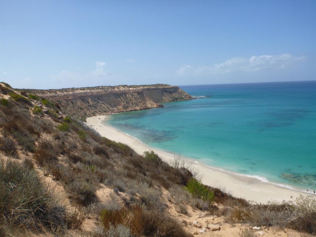

While there are places you will need a four-wheel-drive vehicle, a two-wheel-drive can also take you many places to experience this World Heritage area – just follow the World Heritage Drive. Tours on land and water provide opportunities to discover even more.

WHY IT’S WORLD HERITAGE
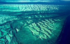
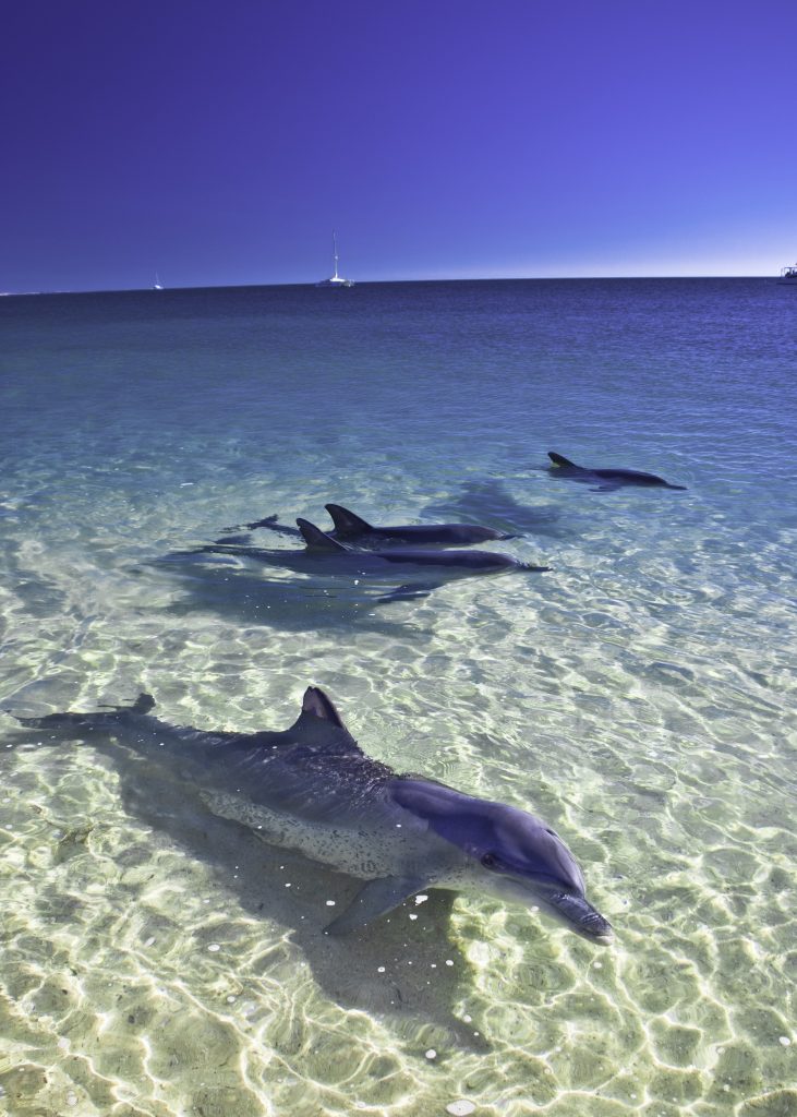
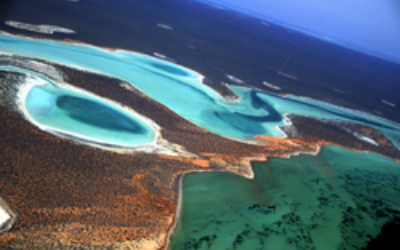
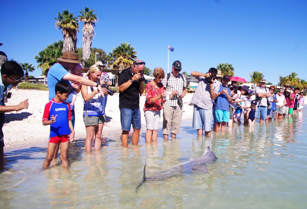
SHARK BAY IS WORLD HERITAGE LISTED FOR ITS NATURAL VALUES
Visit Shark Bay to see why it is held in such high esteem. World Heritage places really are the best places on Earth and Shark Bay is listed because of its beauty and abundance, it has evolving habitats and species, it’s a window in time, and is a wildlife refuge.

want to see where everything is?